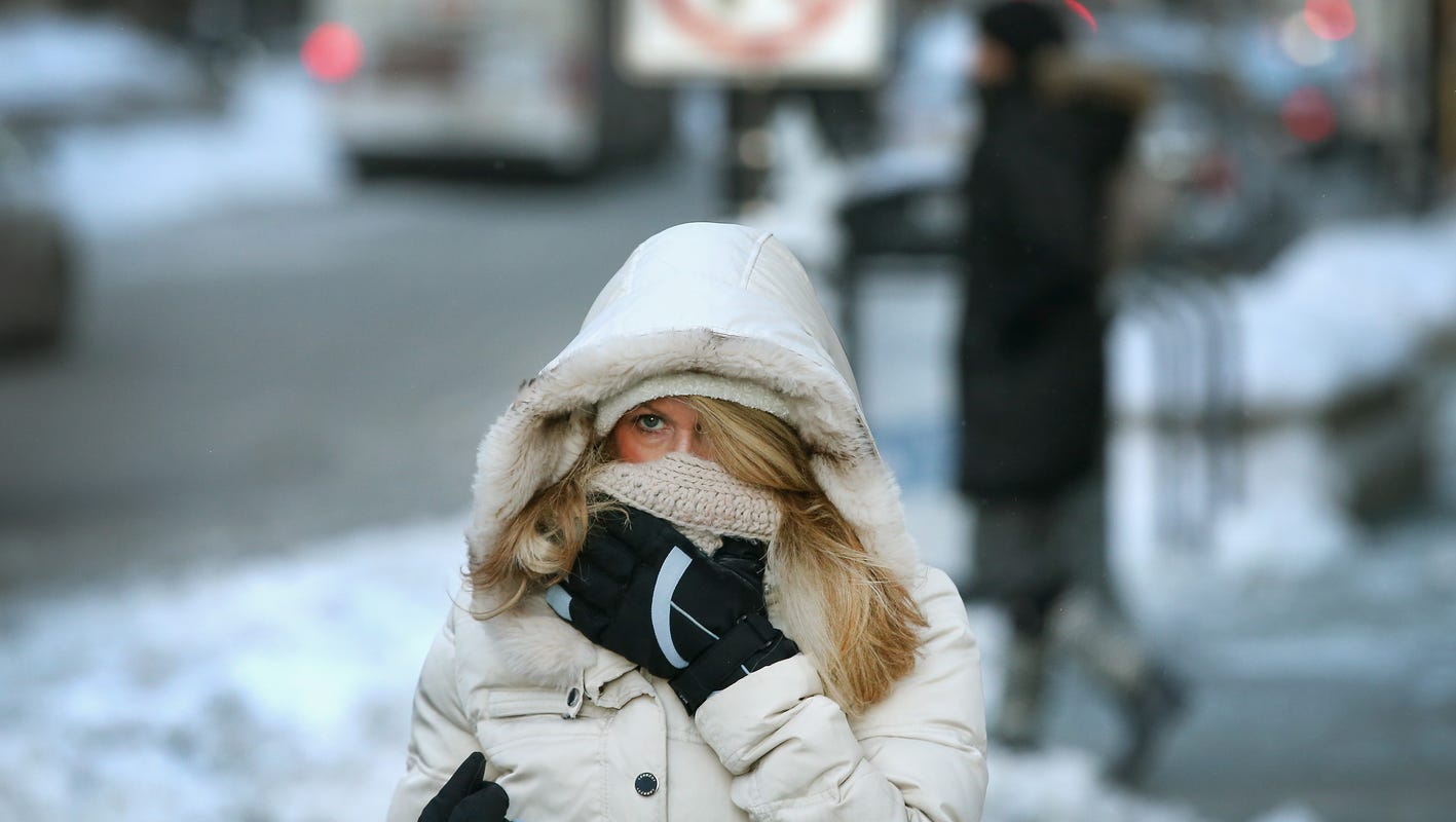
Freezing Autumn leaves temperatures to drop significantly. Forecasters are predicting the early arrival of another polar vortex.
This large area of cold air found high in the atmosphere which normally spins over the North Pole is moving over towards the Central and Eastern regions of #USA over the next couple of days, bringing with it temperatures that will feel more like a January frost than November Fall.
Bundle up folks, as daytime highs are expected to stay around the 30 to 40-degree mark, and the Northern Rockies and Northern Plains will most likely feel it first, then the Northeast will be next to feel the blast of cold air this weekend.
A streak of light to moderate overrunning snow will impact the Midwest, from Kansas and Nebraska toward the Mid Mississippi Valley. A few inches of snow will be possible. Meanwhile, the combination of unseasonably warm conditions, dry fuels and low humidity with gusty offshore Santa Ana winds have increased fire weather concerns from elevated and critical to an extreme in southern California.
For NYC. High pressure builds over the waters through tonight. The high retreats across New England Friday morning and then offshore Friday afternoon. A coastal low tracks near Long Island Friday evening on its way to the Gulf of Maine by Saturday morning, followed by high-pressure building into the region through Sunday night, then sliding offshore on Monday. A coastal low moves to the Mid-Atlantic Coast by Tuesday morning.
