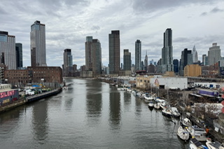
According to The City published report, A Fifth of NYC Built on Bygone Water Now at Risk: Study Maps City’s ‘Blue Zones’Researchers at the New York Botanical Garden identified more than 500 places in the city where water used to be, where it still floods and where flooding is likely to get worse due to climate change.
https://www.thecity.nyc/2026/04/01/flooding-blue-zones-climate-change-b…
Blue Zone Criteria
PASTNo
PRESENTYes
FUTUREYes
About the Data
Expand each section to learn more about the data sources behind each flood risk category.
Past−
- Historical ecology — Based on the block-by-block historical landscape data of the NYBG Welikia Project.
Present−
- NYC Office of Technology and Innovation — 311 calls of reported flooding
- NYC Department of Environmental Protection — Stormwater Flood Maps
- Federal Emergency Management Agency — 100 year flood plain
- NYC Department of Small Business Services — Hurricane Sandy Inundation zones
Future−
- NYC Department of Environmental Protection — Stormwater Flood Maps with Sea Level Rise projects
- NYC Mayor's Office of Climate and Environmental Justice — 500 year floodplain
To learn more about the methodology and analysis behind the Blue Zones, read our paper in the Annals of the New York Academy of Sciences here, or our post on the NYBG blog here.
Links