The following New York Maps Show Where the State Will Become Underwater From Sea Level Rise.
Portions of Manhattan, Long Beach, Coney Island and others are at risk of being consumed by water as sea levels rise due to the effects of climate change in the coming century, modeling suggests.
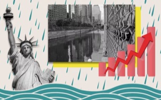
By the year 2100, the Intergovernmental Panel on Climate Change (IPCC) estimates there will be between 43 and 84 centimeters (1.4-2.8 feet) of sea level rise, but that an increase of 2 meters (6.6 feet) "cannot be ruled out."
https://www.newsweek.com/new-york-map-state-sea-level-rise-underwater-1…
NY UNDERWATER
https://pix11.com/news/interactive-map-shows-which-us-cities-will-be-un…
Topic