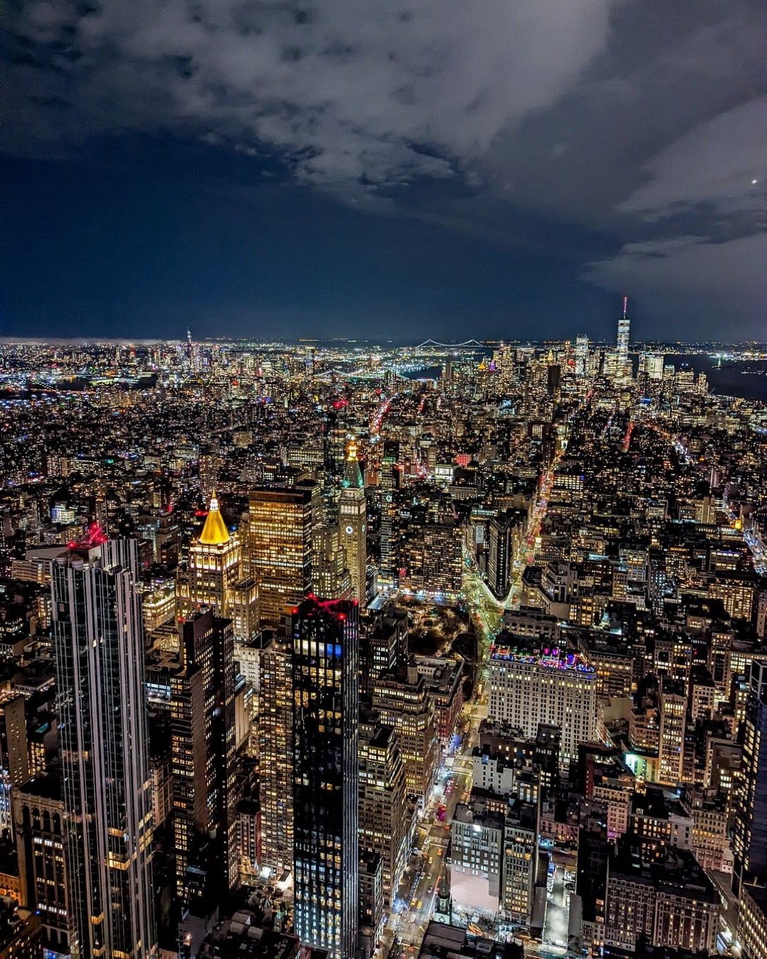
The New York City pounding rains that brought strong winds that pounded The Big Apple into the late-night hours have disappeared.
Since the one topic, we should be talking about is the climate crisis... NYC residents experienced persistent rain and thunderstorms that extend into the early morning hours. The National Weather Service issued warnings of wind gusts and considerable rainfall. Precipitation amounts were higher caused by thunderstorms, which developed throughout the night.
On City Island, A Slice of NYC Paradise we unfortunately had water damage inside our unit after our bright know-it-all neighbor upstairs, apparently forgot to close his windows and then took his time to rectify the problem after we reached out a few times using a couple of phone numbers and methods, including text and voice messaging. He must have finally closed his window because the water leaks eventually stopped by this morning. However, he never felt the need, urge, or consideration to apologize. No contrition, or offer of assistance?
The massive, slow-moving upper-level low, responsible for unsettled weather across NYC and the eastern third of the country, has weakened as it swings a few more surface waves through the region this weekend.
These surface lows will produce rain/snow showers over much of the Midwest Great Lakes and Northeast today. Scattered to isolated thunderstorms are also possible over the Ohio/Tennessee Valleys beginning this afternoon. Light rain/snow showers will linger through Sunday when the upper low will have moved out.
Temperatures will drop on the backside of this system, from the Midwest to the Northeast, with highs likely to be 20-25 degrees below average through the weekend. Flash flooding and severe thunderstorms are not a concern this weekend.