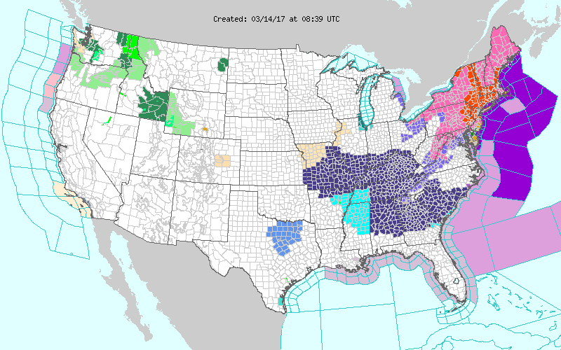
Good morning... Stella is here and she's knocking at the door. A historic blizzard hits the Northeast region because things just weren’t bad enough already.
The Northeastern portion of The United States, stretching from Washington, DC to Boston is getting slammed by a historic blizzard lasting straight through Tuesday.
Watching WNBC LIVE FEED a2 BB http://www.nbcnewyork.com/news/local/Times-Square-Snow-Cam-NYC-New-York…
5A to 10A
The heaviest snowfall is expected to fall during this time period for New York City, Long Island, and the northern regions of New Jersey. At some points during this timeline, snow could fall at as much as 2 to 4 inches per hour.
A coastal flood warning is in effect for Long Island and the Jersey Shore. The Tides will be 2 to 3 feet above normal for the morning high tide cycle which will be from 9A to 1P.
10A to 4P
The snowstorm will begin to mix with sleet and rain over eastern Long Island, central and southern New Jersey during the late morning and afternoon. Precipitation remains all snow in the Hudson Valley, Connecticut, and northwestern NJ.
4P to 7P
The #Stella nor’easter tapers off, starting with central New Jersey and Long Island, then New York City before finishing off in the great state of Connecticut.
New Yorkers, including City Islanders, should be expecting to see between 12 and 18 inches of the white stuff. Northwest New Jersey and Hudson Valley will be receiving the brunt of it, perhaps up to two feet of snow. Central Long Island and interior New Jersey could get totals between 6 and 12 inches. While eastern Long Island and southern New Jersey will have anywhere from 3 to 6 inches.